
Search Norfolk County Streets by Address
Begin with the full number, street, municipality, postal city, and ZIP. Keep older spellings or former place labels in a separate note. The county has 28 municipalities, and each municipal assessor controls its own tax data. An address result is therefore a starting point, not a countywide household list. The strongest current trail moves from the parcel to the owner of record, then to the Registry instrument and plan references. Historical street tools and lawfully available municipal election records can add time and place context, but they do not turn ownership into proof that every person at an address lives there.
- Open the relevant municipal assessor or GIS resource through the Registry directory. Try address and owner modes, then retain the situs, mailing address, map/lot or parcel identifier, fiscal year, and source date only when displayed.
- Use MassMapper to confirm the municipality, road, parcel context, and nearby boundaries. A map polygon is a geographic clue, not a title certificate.
- Search the Registry recorded-land index by owner, town, document type, date, book/page, or modern address. Open the instrument and compare its prior-reference field, legal description, and plan reference.
- If a recorded-land chain stops, check the separate Land Court route and the plan index. Registered land must not be assumed to appear in the recorded-land result.
- For a current local voter question, ask the city or town election office about a narrowly described public list. The statewide status tool checks one named registrant with a date of birth and ZIP; it cannot enumerate a street.
- For an older address, check a library or archive directory, newspaper, census, or house-history source and preserve the year and source label with every observation.
Start with the Registry address and deed search when the address is modern enough for that index.
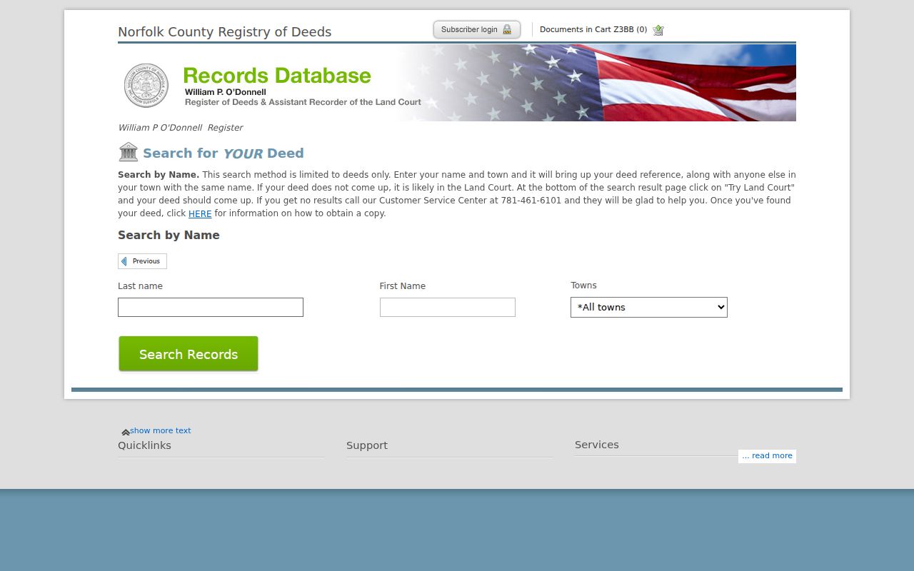
The Registry result is most useful when it leads to the actual instrument, where party roles, recording information, legal descriptions, and earlier references can be read in context.
Norfolk County Street Directory Uses Municipal Assessors
There is no single county assessor database. The Registry assessor and GIS directory is the practical route to the right municipal source. The Town of Norfolk Vision site is a documented example, not a rule for every community. Its landing page says an address query returns only the first 10 results and generally omits vacant lots. Its Street Listing control is the alternate route for a whole road or for parcels missing from an address result. A no-match may be a search-limit issue rather than proof that no parcel exists.
| Portal control | Type | What to retain | Norfolk County note |
|---|---|---|---|
| Search selector | Required dropdown | The mode selected | The Town of Norfolk landing page exposes a selector. |
| Owner | Text search | Name exactly as returned | Try spelling variants and trust or business names where relevant. |
| Address or situs | Text search | Number, street, and municipality | The Town of Norfolk example returns only the first 10 records. |
| Street Listing | Browse control | Whole-street parcel sequence | Useful for vacant lots and a systematic road review. |
| Map/lot or account | Result field | Exact municipal identifier | No countywide identifier format is documented. |
| Fiscal year and update | Result metadata | Snapshot date and update note | Assessment timing differs by municipality. |
A situs address identifies the physical parcel. A mailing address identifies where a tax bill is sent. They can be different for a trust, estate, business, or nonresident owner. Capture both labels rather than replacing one with the other. Classification, value, or exemption data also do not establish zoning compliance, title, or residence.
Map Context for a Norfolk County Street
MassGIS MassMapper accepts a full address with town or ZIP, a street with town, a landmark, municipality or neighborhood, ZIP, and coordinates. Its parcel, boundary, road, and place-name layers help test whether a location falls in the modern municipality and whether a postal name masks a different jurisdiction. Municipal parcel data are standardized by municipality and vintage, with twice-yearly MassGIS updates. That makes the map a useful orientation tool for a deed or historic address, not a substitute for a municipal record or official title evidence.
See the state’s MassGIS property-tax parcel data used for municipal parcel context.
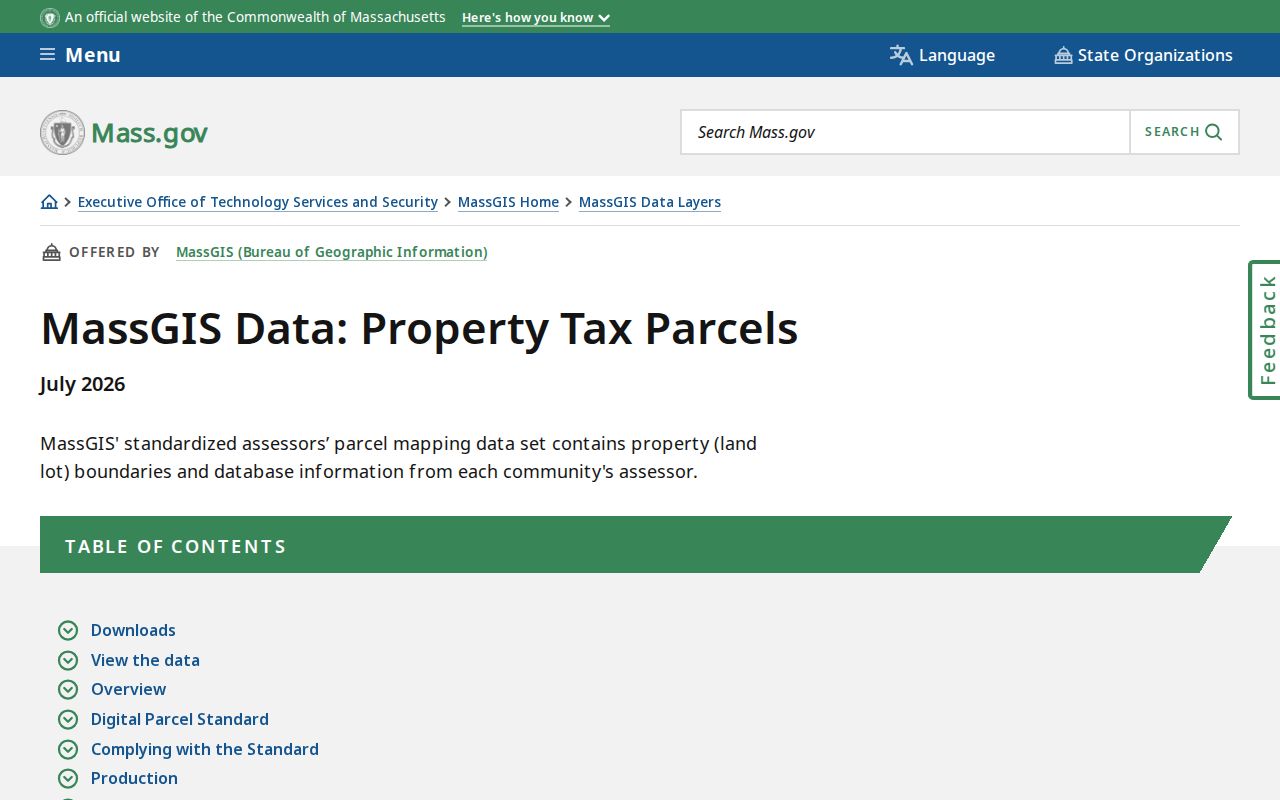
Map context becomes most useful after the municipal parcel label is known, because the label can be carried to the assessor source, Registry plan, and deed chain without treating a drawn boundary as proof of ownership.
Note: Keep the postal city, municipality, parcel label, and map-source date together because each may identify a different part of the address record.
Norfolk County Street Directory Deed Trails
The Norfolk County Registry of Deeds describes recorded land records from 1793 through the previous day as online, with recorded land and Land Court kept in separate research paths. A modern street search can be useful, but address listings before 2003 are very limited. For an older property, shift to the current owner, prior owner, grantor, grantee, town, document type, book/page, legal description, and adjoining-owner clues. The traditional backward sequence is current grantee, seller as grantor, then that seller’s earlier acquisition. Preserve deed and recording dates separately because they are not always the same date.
Read a result as an index entry first, then the image. The Registry says online images are available without an account but marked “Not an Official Copy.” Official prints, copies by mail, and in-person service follow the fee schedule. The Registry counter at 649 High Street in Dedham is a documented fallback when a plan, older notation, or separate Land Court file needs staff explanation. Its research hours are 8:30 a.m. to 4:30 p.m.; calling 781-461-6101 before traveling can confirm the appropriate route.
- Parcel
- A tax-map or assessment unit used by a municipality to identify land for administration. Its label is not standardized countywide.
- Situs address
- The physical location of a parcel, which can differ from a tax-bill mailing address or a postal-place name.
- Plat or plan
- A recorded drawing that can show lots, rights-of-way, easements, frontage, and a subdivision layout.
- Grantor and grantee
- The party transferring an interest and the party receiving it in a recorded instrument.
Plans Clarify Norfolk County Street Gaps
Plans often solve a question that a compact street search cannot. The Registry plan index supports plan book/page, deed book/page, plan number/year, street name, owner name, and surveyor searches. A plan can expose a lot line, subdivision, right-of-way, easement, or the adjoining-owner relationship that explains why a legal description does not match a familiar street number. When the deed chain moves into registered land or its address wording stops being useful, search the plan and Land Court routes instead of assuming the recorded-land index is complete.
Open the Registry plan search for the documented fields and plan-image route.
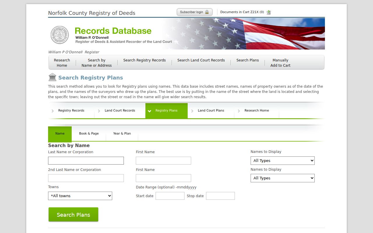
A plan search can carry a street question back to a surveyor, plan number, or neighboring owner, then forward again to a municipal map or assessor record.
Norfolk County Address Records Compared
Each address-keyed source has a narrow function. Use the source label in the result rather than flattening an owner, grantee, applicant, voter, or historical occupant into a single claim. Municipal offices also control permits and code records, so a request should identify the address, town, record type, and date range. The Massachusetts Public Records Law route is useful where a portal does not expose a public index, but protected complainant material and other exempt information can be redacted.
| Address record | Custodian | What it can show | Access route |
|---|---|---|---|
| Tax or assessor card | Municipal assessor | Owner, mailing and situs addresses, map/lot, value, class | Municipal portal or counter |
| Parcel map | MassGIS and municipality | Polygon, boundaries, parcel context | MassMapper or municipal GIS |
| Deed and plan index | Registry and Land Court | Parties, dates, book/page, legal description, plan references | Online index, counter, or copy request |
| Local voter list | City or town election office | Lawfully public current registration fields | Narrow local request; not a countywide export |
| Building or code file | Municipal department | Address, work or case information, dates, public status | Town portal or public-records request |
| Historic street directory | Library or archive | Earlier street occupant or business context | Catalog, reading room, or digitized volume |
Note: A defined request to the actual municipal custodian is more useful than a vague countywide request because records, retention, and public fields differ town by town.
Older Norfolk County Street Directory Clues
Historic directories are the address-to-occupant layer for earlier research, but their runs are local and incomplete. The digitized 1890 Wrentham and Norfolk directory includes a dedicated street section as well as resident, business, officer, school, society, church, post-office, and local-history material. It can connect a street to the printed locality and year, not prove a current resident. The 1890 volume also uses locality abbreviations such as P for Plainville, S for Sheldonville, W.W. for West Wrentham, and N.A. for North Attleboro, while sometimes omitting the word “street.”
For a physical or repository-only source, the Dedham Museum research collection identifies Dedham street directories, house and building-history files, maps, newspapers, local genealogies, and county material. The State Library remains the verified statewide route for city and town directory holdings. Check the exact title, year, municipality, section, and page image before treating a printed entry as a person or address match.
The historical street directory clue becomes stronger when it is paired with a census year, Registry deed, plan, or assessor map. Those records may disagree because the publication date, move date, locality term, or street description differs.
Norfolk County Street Research in Dedham
Dedham is the county seat and a practical research corridor for address work. The Registry of Deeds and Norfolk Superior Court are both on High Street, while Dedham District Court is also on High Street. An online index should come first. Reserve an in-person visit for a defined book/page, plan, Land Court question, or file route that the web result cannot settle. Bringing the town name, approximate year, parcel/map-lot label, and any prior-reference information makes the counter request more precise.
This county-seat geography matters because Norfolk County records remain split between countywide, municipal, state, and repository-specific custodians. A municipal address question still belongs with the appropriate town even when Registry research begins in Dedham.
Limits of a Norfolk County Street Directory
A street search does not produce a complete list of everyone at a dwelling. Tax records identify an owner-of-record snapshot, a deed identifies instrument parties, a parcel layer represents geography, and an older directory records an earlier printed entry. Public sources do not justify inferring unrecorded household members, utility customers, delivery recipients, or confidential voters. The state voter status tool is a person-specific current-registration check, and local public lists omit protected categories. Keep a negative result with its query, date, portal limits, and municipality rather than turning it into a claim about a person.
When a record needs correction, take the disputed field and supporting material to the custodian that maintains it. Registry images, municipal tax data, postal delivery names, and historical directories are separate records with separate correction paths.