
Norfolk County ZIP Code Coverage by Postal Place
Norfolk County has a wide postal footprint that includes standard town assignments, alternate place names, and PO Box or alternate delivery uses. The working list below follows the research inventory for the county and communities commonly associated with its postal geography. It is a sorting tool, not a county boundary file. Verify any individual address with USPS, then compare the result with MassGIS municipal boundaries before sending a request or interpreting an assessor result.
| ZIP | Areas covered | Post office or station | Records note |
|---|---|---|---|
| 02019 | Bellingham | Bellingham | Town and postal place align; verify the address. |
| 02021 | Canton | Canton | Municipal line controls local records. |
| 02025 | Cohasset | Cohasset | Coastal town postal place. |
| 02026 | Dedham | Dedham | Standard Dedham assignment. |
| 02027 | Dedham PO Box | Dedham | PO Box or alternate delivery; not a situs-area filter. |
| 02030 | Dover | Dover | Town and postal place align. |
| 02032 | East Walpole | East Walpole | Alternate postal place in the Walpole area. |
| 02035 | Foxboro or Foxborough | Foxboro | Postal spelling differs from the municipal style. |
| 02038 | Franklin | Franklin | Town and postal place align. |
| 02052 | Medfield | Medfield | Town and postal place align. |
| 02053 | Medway | Medway | Town and postal place align. |
| 02054 | Millis | Millis | Town and postal place align. |
| 02056 | Norfolk | Norfolk | Town of Norfolk, not Norfolk County. |
| 02062 | Norwood | Norwood | Town and postal place align. |
| 02067 | Sharon | Sharon | Town and postal place align. |
| 02070 | Sheldonville | Sheldonville | Wrentham-area postal place; check municipality. |
| 02071 | South Walpole | South Walpole | Walpole-area alternate place. |
| 02072 | Stoughton | Stoughton | Town and postal place align. |
| 02081 | Walpole | Walpole | Town and postal place align. |
| 02090 | Westwood | Westwood | Town and postal place align. |
| 02093 | Wrentham | Wrentham | Town and postal place align. |
| 02169 | Quincy | Quincy | City postal zone; check the municipal map. |
| 02170 | Quincy | Quincy | Alternate Quincy zone. |
| 02171 | Quincy | North Quincy | Alternate station or zone; verify address. |
| 02184 | Braintree | Braintree | Town postal place. |
| 02185 | Braintree PO Box | Braintree | PO Box or alternate delivery use. |
| 02186 | Milton | Milton | Town postal place. |
| 02187 | Milton Village | Milton Village | Alternate postal place. |
| 02188 | Weymouth | Weymouth | Town postal place. |
| 02189 | East Weymouth | East Weymouth | Alternate postal place. |
| 02190 | South Weymouth | South Weymouth | Alternate postal place. |
| 02191 | North Weymouth | North Weymouth | Alternate postal place. |
| 02269 | Quincy PO Box | Quincy | PO Box or alternate use; verify address. |
| 02322 | Avon | Avon | Town postal place. |
| 02343 | Holbrook | Holbrook | Town postal place. |
| 02368 | Randolph | Randolph | Town postal place. |
| 02445 | Brookline | Brookline | Brookline postal zone. |
| 02446 | Brookline | Brookline | Brookline postal zone. |
| 02447 | Brookline Village | Brookline Village | Alternate postal place. |
| 02457 | Babson Park | Babson Park | Wellesley-area institutional or alternate place. |
| 02481 | Wellesley Hills | Wellesley Hills | Alternate postal place. |
| 02482 | Wellesley | Wellesley | Town postal place. |
| 02492 | Needham | Needham | Town postal place. |
| 02494 | Needham Heights | Needham Heights | Alternate postal place. |
| 02762 | Plainville | Plainville | Town and postal place align. |
The list deliberately does not claim a postal boundary is a legal boundary. A ZIP can serve a neighborhood, a PO Box route, or an adjoining municipality. Postal delivery is one field in the address record; the town label directs the municipal assessor, clerk, election office, permit file, or historical repository.
Norfolk County ZIP Code Directory Needs a Town
The county’s 28-community structure makes the municipality the essential second key. Brookline, Braintree, Milton, Quincy, and Weymouth have postal and metropolitan identities that can obscure county lines. East Walpole, Sheldonville, Milton Village, North Weymouth, Needham Heights, and Wellesley Hills are examples where a useful postal or historic place label is not enough to identify the keeper of a local record. Preserve both labels instead of overwriting one with the other.
The Town of Norfolk gives this distinction a particularly clear test. ZIP 02056 identifies the town named Norfolk, not the county as a whole. Use the municipality in every assessor, clerk, and Registry query. For historical material, retain the printed locality as well. The 1890 Wrentham and Norfolk directory uses older place abbreviations that may represent a village, station, mill district, or postal route rather than a modern municipal boundary.
Note: A ZIP narrows delivery geography, while a municipality identifies the local office responsible for most current address records.
USPS Confirms a Norfolk County ZIP Code
The Postal Service lookup supports address-to-ZIP and city-and-state-to-ZIP queries. It is the right first check for a specific address or a claimed postal place, but it does not provide a reliable countywide boundary export. Record the returned postal assignment with the date checked, then use MassGIS to test the municipal context. A result for a PO Box or alternate delivery place should not be used as a parcel or resident-area filter.
Use the USPS ZIP Code Lookup to verify an individual delivery assignment.
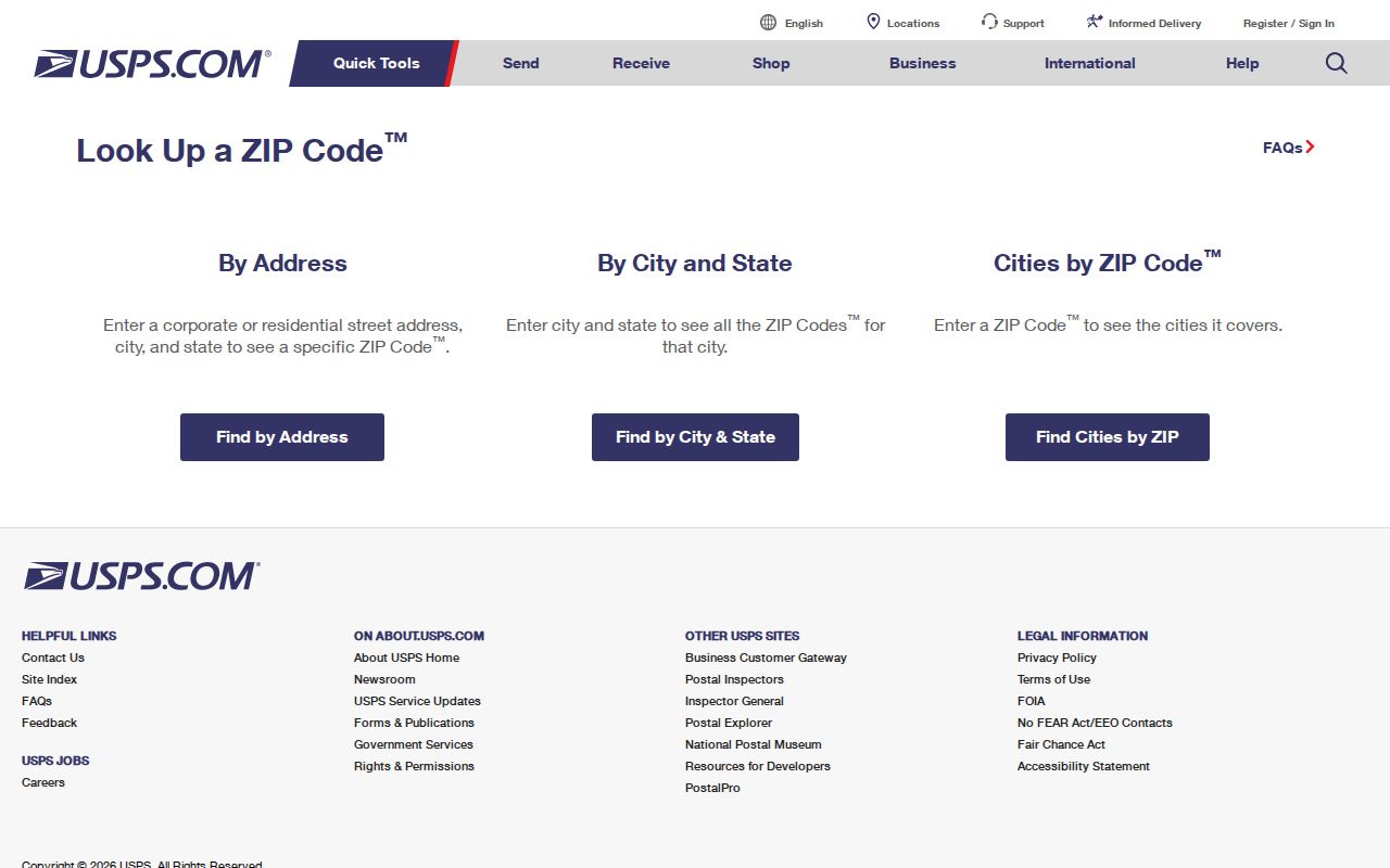
The USPS result supplies the postal part of the search. It should be paired with the municipality before an assessor, election, permit, or clerk record is requested.
MassGIS Resolves Norfolk County ZIP Names
MassGIS community names are the bridge between postal, historic, neighborhood, and alternate-place labels. The official lookup draws on Secretary of State, USPS, MSAG, and ZIP sources, making it useful when a directory or obituary names East Walpole, Sheldonville, Milton Village, or another nonstandard place. MassGIS municipal boundaries provide the legal-geography context, although the state notes that those boundaries are a geographic representation rather than a survey.
Review the MassGIS community-name lookup table when a postal name and municipal name do not match.
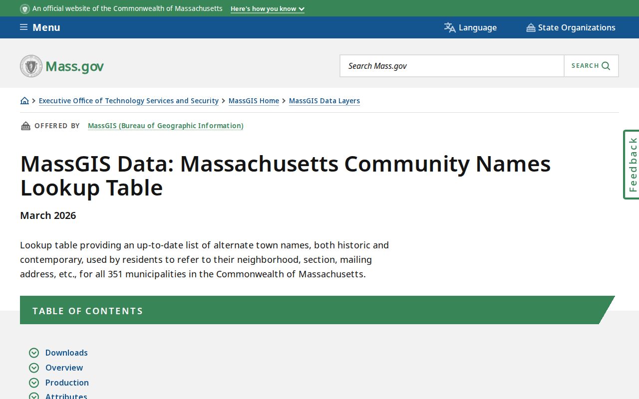
The community-name result helps retain the printed or mailing place while a second field records the municipality that holds the local source.
Find a Norfolk County Resident by ZIP
A ZIP alone does not produce a countywide resident list. Use it to narrow a known name or address, then move to the custodian that maintains the relevant municipal record. The verified Town of Norfolk assessor landing page did not expose a ZIP selector before a live query, and no verified countywide ZIP-capable assessor search or ZIP-wide result count was captured. The Massachusetts voter status tool uses ZIP as part of a named person’s current-registration check, not as a browse function.
- Verify the known address or postal place with USPS and retain the returned ZIP.
- Use MassGIS community names and municipal boundaries to identify the city or town that controls the local record.
- For a parcel question, use that municipality’s assessor or GIS link through the Registry directory. Search by its actual address, owner, map/lot, account, or Street Listing option when offered.
- For a current named voter question, use the state status tool with the required name, date of birth, and ZIP. For a local public list, contact the city or town election office about the lawful fields and a defined request.
- For a historical street or parcel question, use the municipality, Registry deed or plan reference, and a directory or archive source with its year and location label.
Once the ZIP has narrowed the municipality, the Norfolk County street directory provides the address-by-address parcel and Registry workflow.
Norfolk County ZIP Code Search Fields
The statewide voter-status entry point shows why a ZIP should be treated as a match field rather than a geographic directory. It requires first name, last name, date of birth, and a five-digit ZIP. Registration names must match, and recent movers may need to try a previous ZIP because changes can take two to three weeks. Its result can display current registration details, but it is not an archival roll or a ZIP-wide search.
| Visible field | Type | Required | Result or format note |
|---|---|---|---|
| First name | Text | Yes | Use the registration name; nicknames may fail. |
| Last name | Text | Yes | Use the exact registered surname. |
| Date of birth | Date or text | Yes | Required match field; do not republish it. |
| ZIP | Five-digit text | Yes | Try a previous ZIP after a move where appropriate. |
| Search | Button | Yes | Returns a match or a no-information result. |
| Local-office route | Link or contact | No | Use the municipal office for local list questions. |
When a local file is available, Massachusetts says it may contain public name, address, party, date-of-birth, status, and voter-ID fields, while confidential records and specified personal fields are withheld. The statewide list is not generally public. A request belongs with the local election office, not a countywide ZIP export.
Norfolk County ZIP Code Results Have Limits
MassMapper accepts ZIP as a place search and can display parcels, municipal boundaries, roads, place names, and other layers. It is not a resident roll. Parcel identifiers are also municipal, with map/lot, parcel ID, account number, book/page, or subdivision/lot formats varying by town. Use the exact field label the municipal source presents. The countywide Registry records property instruments, while municipal assessors remain the source of truth for tax-roll corrections and fiscal-year information.
Consult the MassMapper address, municipality, and ZIP search guide for the documented map-search route.
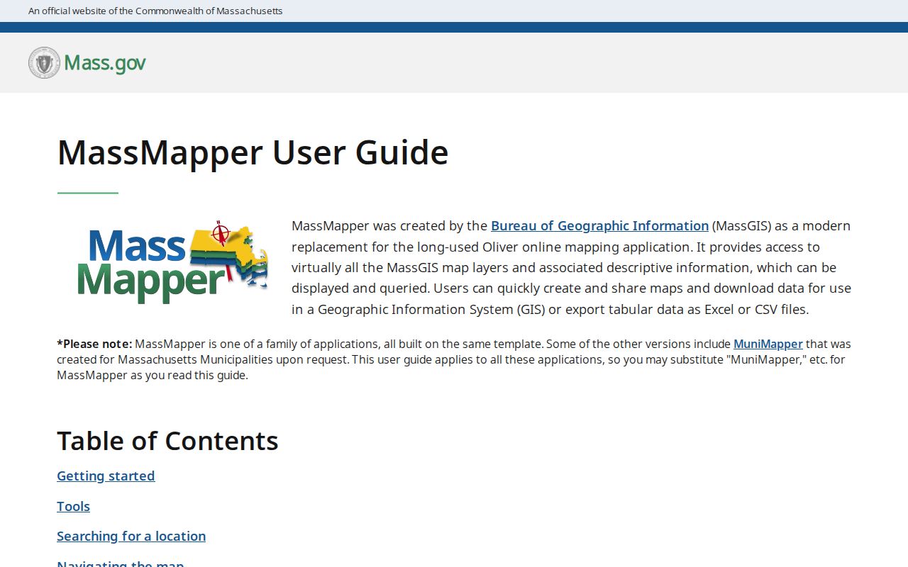
The map search helps connect a postal result to a road, parcel, and municipal boundary before the search moves to an official local record.
Note: No verified countywide ZIP split or realignment timeline was captured, so a boundary change should not be claimed without dated USPS, MassGIS, or municipal evidence.
Postal Lines and Norfolk County ZIP Code Records
ZIP boundaries and city limits serve different systems. USPS assigns delivery geography. Municipal boundaries organize assessing, elections, permits, and many clerk records. A county record can add a third geography, and a historical directory may preserve yet another village or postal-place term. Keeping those labels separate is especially important when an address sits near a municipal line or a historic source uses a name that is no longer a current town label.
- ZIP and ZIP+4
- A five-digit ZIP identifies a delivery area; ZIP+4 adds a more precise delivery segment. Neither replaces the municipal address.
- PO Box ZIP
- A postal assignment for box delivery that may not identify a physical parcel area.
- Unique ZIP
- A ZIP associated with a single institution or special delivery arrangement. Confirm it with USPS before using it as an address clue.
- Carrier route
- A delivery sequence used by the Postal Service. It is not a town boundary, parcel record, or public resident list.